1918 dated leather map case
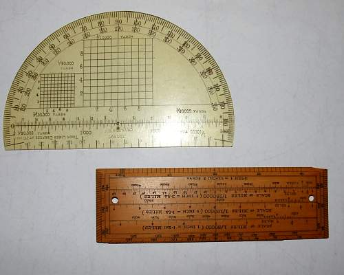
Article about: I was at the Liverpool arms fair yesterday, and I picked up this rather interesting British officer's map case which was made by R R Bristow and dated 1918. The contents were included in the
Similar Threads
-
In Bayonets and trench knives of the world
-
In Field Equipment And Accessories of the Third Reich
-
In Imperial Germany and Austro-Hungary
-
-
In Equipment and Field gear
 Posting Permissions
- You may not post new threads
- You may not post replies
- You may not post attachments
- You may not edit your posts
-
Forum Rules


 .
.

Bookmarks